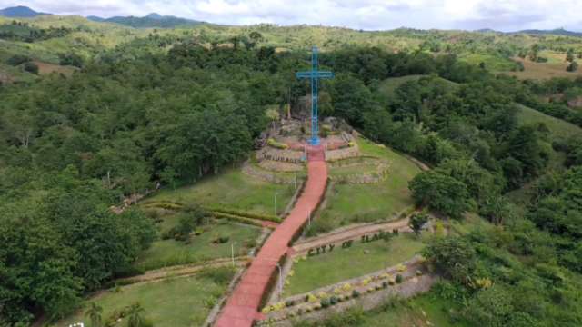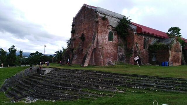
Popular

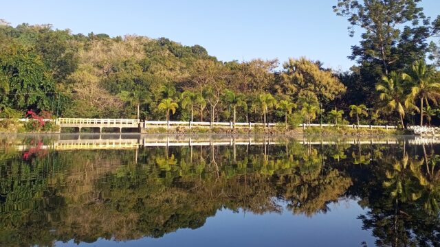
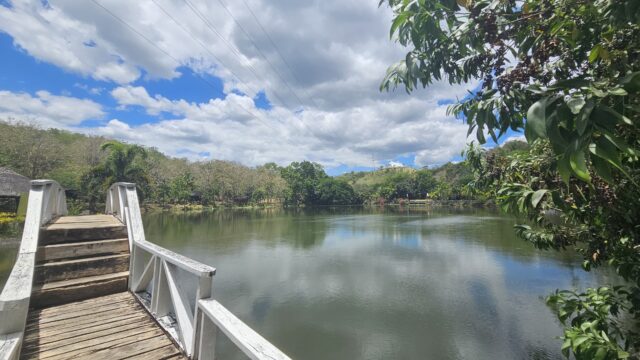
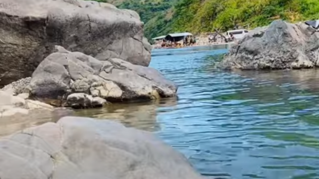
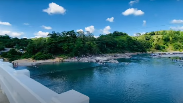
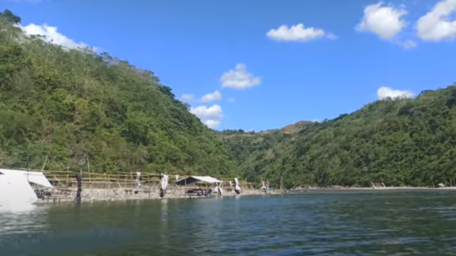
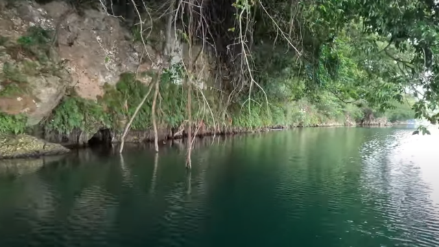
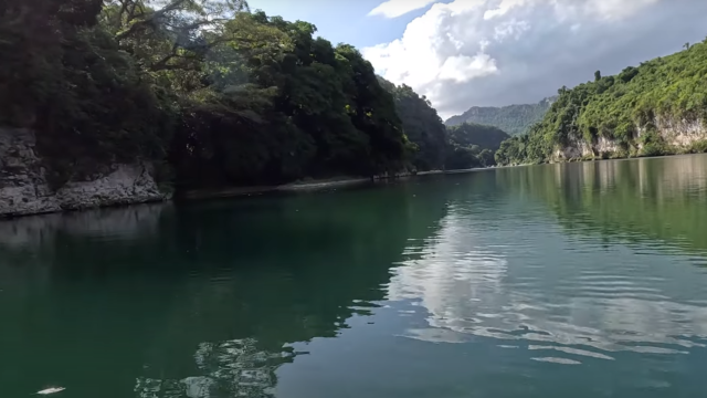
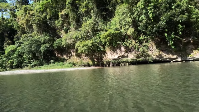
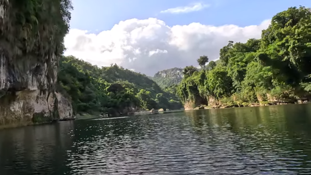
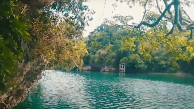
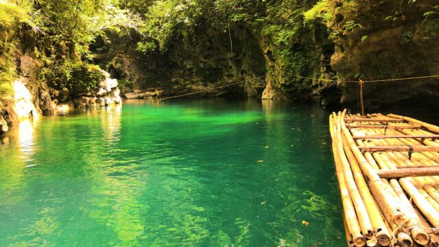
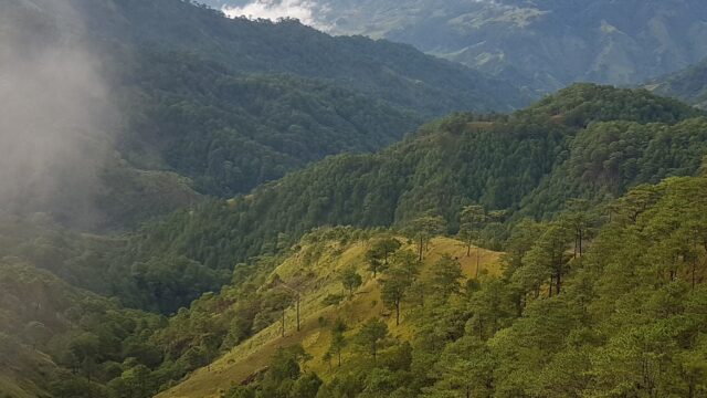
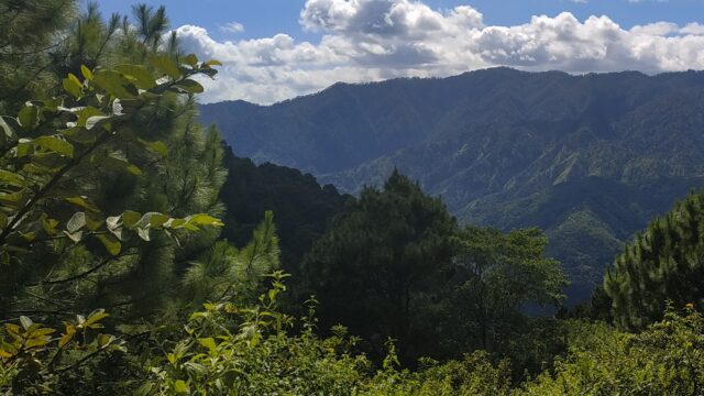
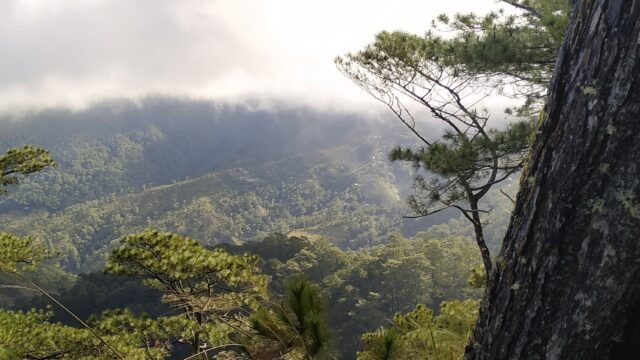
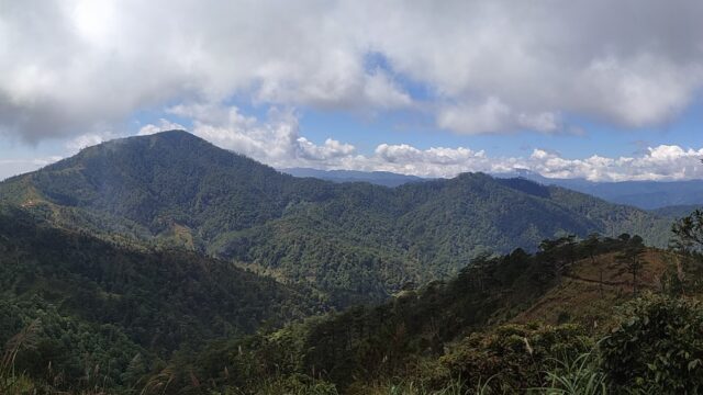
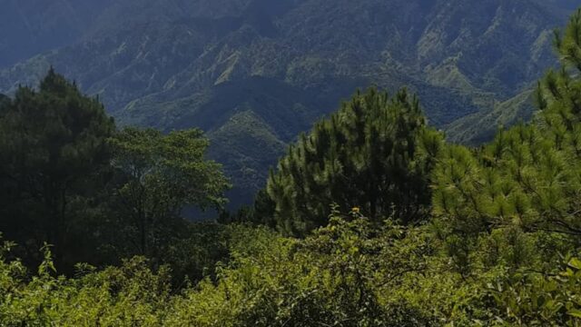
Kumalarang River is a westward flowing river on the island’s western half, which is otherwise called Baunuh Peggesan. It is one of the major rivers in the province of Zamboanga del Sur, along with Sibuguey River and Tukuran River.
• Kumalarang River is a westward flowing river on the island’s western half, which is otherwise called Baunuh Peggesan.
• Kumalarang River is one of the names that the local Yakan people used for pre-historic Basilan, along with Uleyan, Matangal, Puh Gulangan, and Umus Tambun.
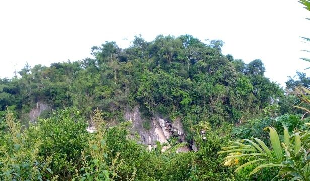
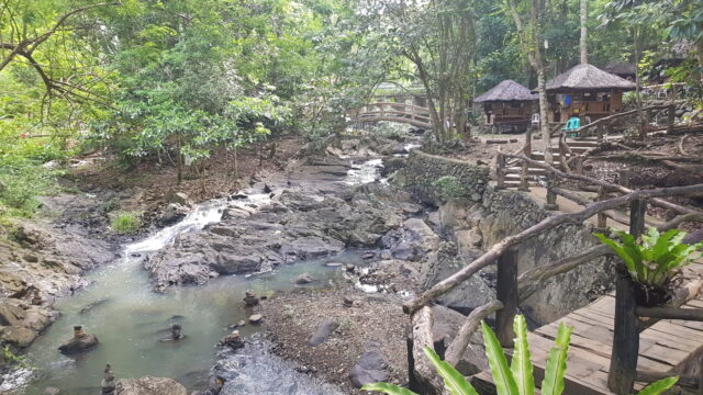
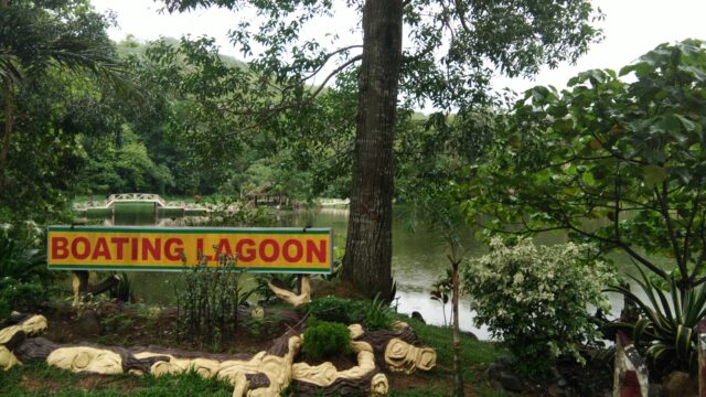
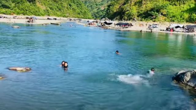
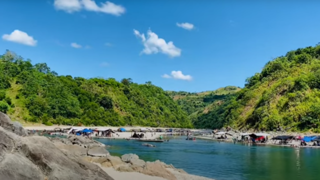
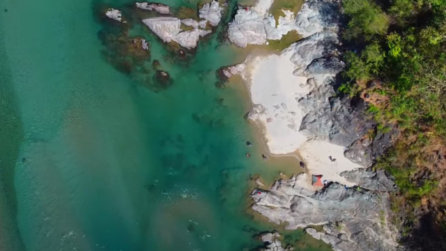
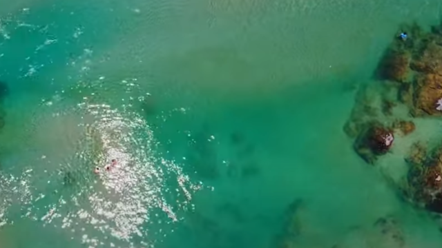
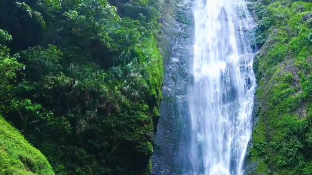
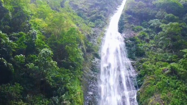
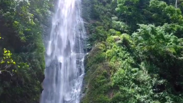
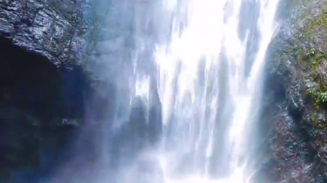
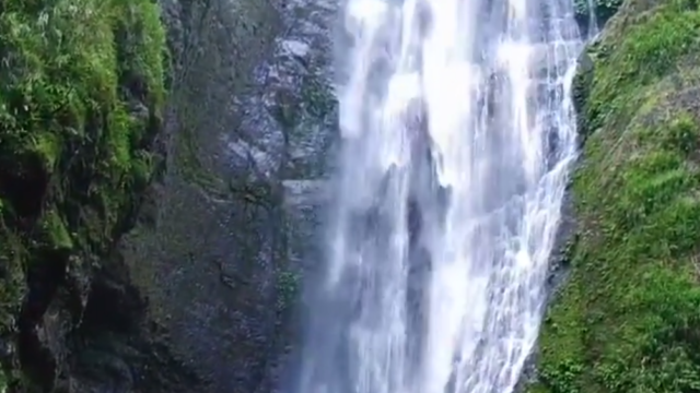
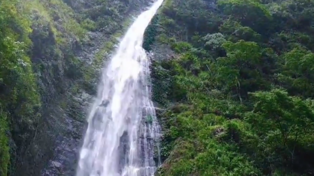
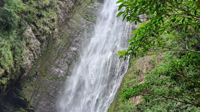
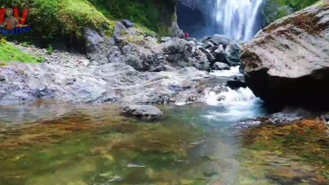
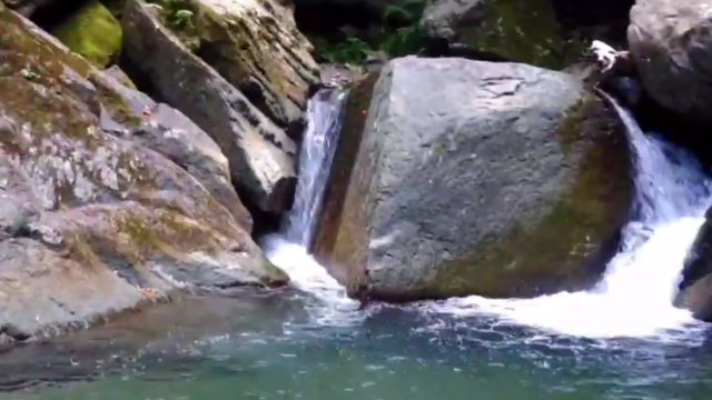
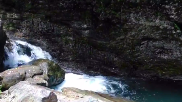
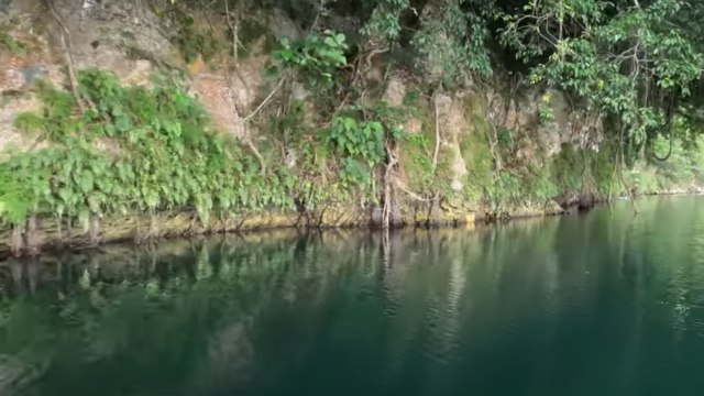
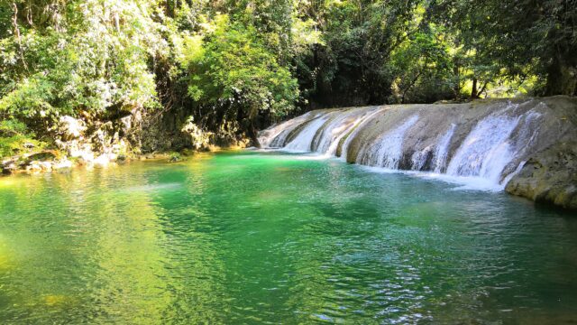
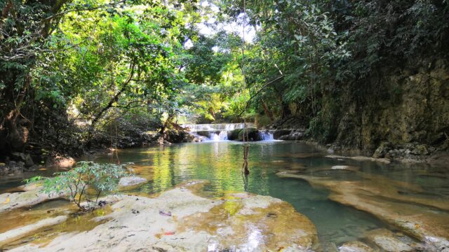
Kumalarang River has a natural attraction called Kumalarang Falls, which is situated on the river and emanates from pristine forests upstream. It is around 14 meters high with a wide and very deep pool. Locals come here for outdoor recreations and photo shoots.
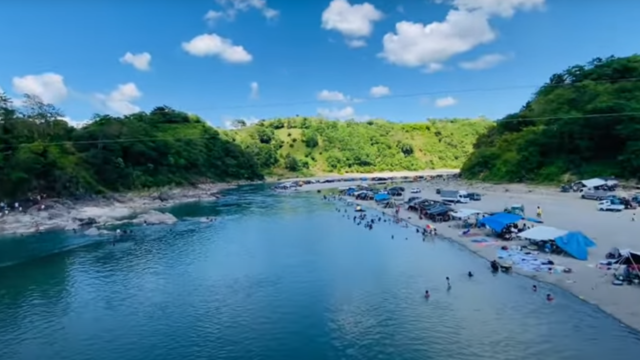
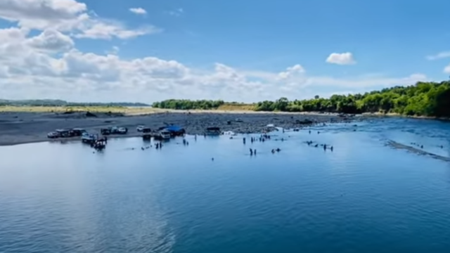
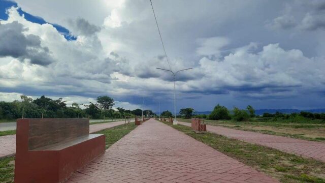
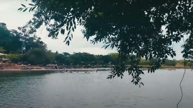
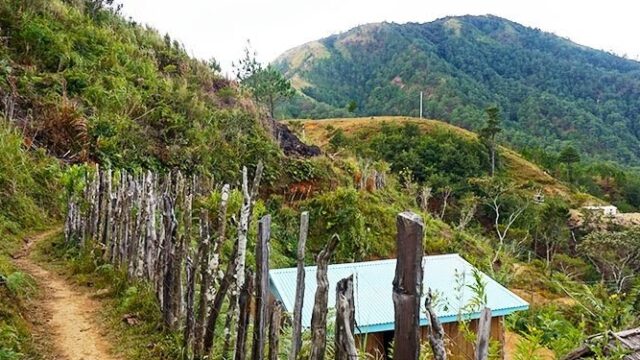
• Kumalarang River is also a source of irrigation for the agricultural lands in the municipality of Kumalarang, which produces rice, corn, coconut, rubber, and other crops https://www.zamboangadelsur.com/kumalarang. The river also supports fishing and aquaculture activities for the local residents.
• Kumalarang River is part of the Phil-LiDAR 1 project, which aims to produce high-resolution flood hazard maps for the country using light detection and ranging (LiDAR) technology. The project conducted LiDAR surveys and flood mapping of the river in 2018 to assess its vulnerability to flooding and provide information for disaster risk reduction and management.
There are no reviews yet.
 by Business Sidekick